In January of this year, I wrote a Musing called “Digitalize Your Library”. In it I noted that for Raven & Gryphon Fine Books, I knew the cost and value of every one of the more than 3,000 books, including the totals. All in one big Excel spreadsheet – that gets backed up every night into the cloud, wherever that is!
But for our personal library, I have information on the cost of every book, but not the current value and no totals. Not a good situation for insurance, estate planning, and so on. So, in January I started to build The Cutten Library Excel spread sheet, by collecting interest. I’m making slow progress. The last category completed was “Canadian History and Travel.” Now I am working on the rest of the world “History and Travel.”
A week ago, I started on the 15 or so Baedeker Travel Books.
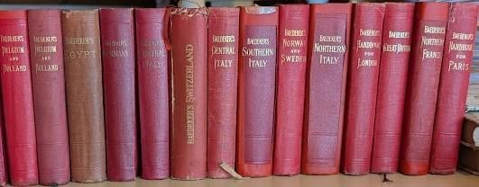
Kark Baedeker started his travel guide business and a century later they were still tops
in their field. They all had the same look and feel, as you can see in the above photo. Dozens of fold-out maps in every one, details on everything a traveller would want to know when visiting a country or city. For instance, there is a Baedeker guidebook for Great Britain and also one for London.
Most of the editions we have date from the late 1800s into the first several decades of
the twentieth century. While street maps are hopelessly out of date, the history and
descriptions of important buildings and museums is still of interest. In fact, when Glenda and I went to Austria in 2016 for son Gregory and Maria’s wedding we took our Baedeker’s Austria, 12th edition 1929, with us.
Halfway through these guides, I came to Germany 1936. The first thing I noticed was that there was no edition noted – a first.
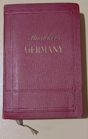
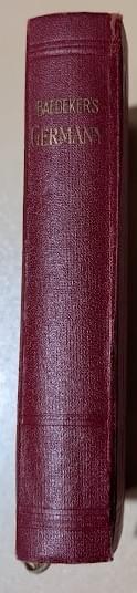
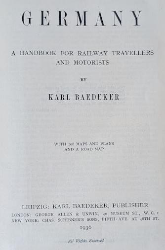
Germany: A Handbook for Railway Travellers and Motorists; by Karl Baedeker; with 108 maps and plans and a road map; Leipzig, Karl Baedeker, Publisher. (Near-fine condition)
Inside the front cover is a listing of all their guides at that time. Europe completely covered plus Egypt, Palestine and Syria, Constantinople and Asia Minor, India, the United States and Canada. I have seen a Canadian one, but they are scarce.
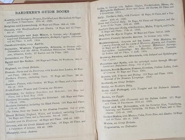
The idea now popped into my head – 1936 – just before World War II. These incredibly detailed books and maps, the Germany guidebook has 108 maps, would be of great interest to the enemy, either the Allies or the Axis. Yes, indeed. I went researching and here is some of what I found out.
The “Baedeker Blitz” refers to a series of retaliatory raids by the German air force on several British cities in April 1942. While these cities, Exeter, Bath, Norwich and York, were of little strategic importance, they were picturesque and historically important. The raids were conducted in retaliation for the Royal Air Force’s widespread destruction of Lübeck, a historic German city.
The raids were called the “Baedeker Blitz” because it was “believed the towns had been “selected from the German Baedeker Tourist Guide to Britain, meeting the criterion of
having been awarded three stars (for their historical significance).” Indeed, Baron Gustav Braun von Stumm, a German propagandist is reported to have said: “We shall go out and bomb every building in Britain marked with three stars in the Baedeker Guide.” Some 1,600 British civilians were killed as a result and some 1,700 injured. Here are four city maps from the German guide: Berlin, Dresden, Frankfurt and Stuttgart. Not to be recognizable by 1945. Baedeker’s Leipzig’s headquarters were destroyed in a December 1943 air raid.
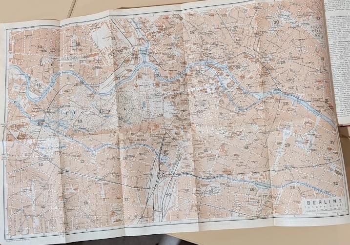
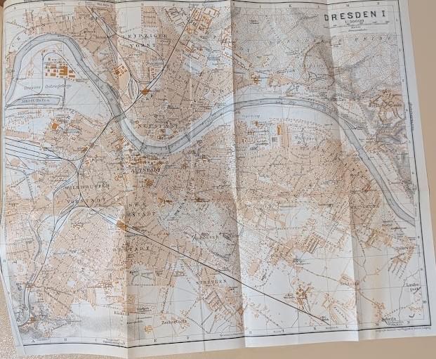
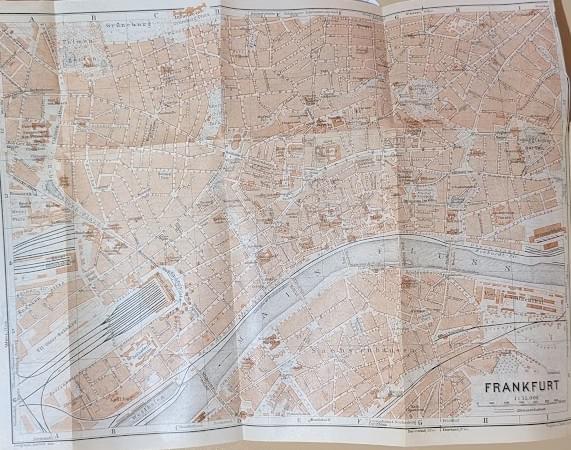
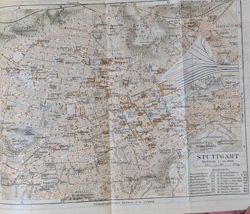
And if we go back and look at the title page of this book it states “A Handbook for Railway Travellers and Motorists”. It could easily be stated “A Handbook for Allied Bomber Brigade.”
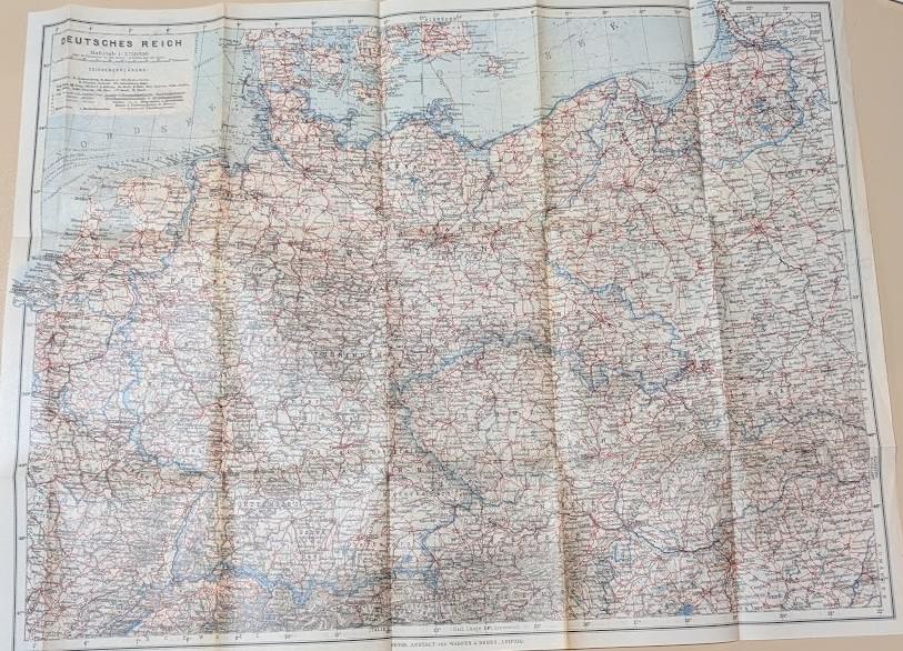
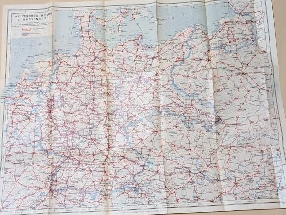
Here are two maps of the country showing highways and railways.
Now it was time to go onto Abebooks and check out the prices for similar condition
books for this guide. For the guidebooks to date the lowest value was $35 and the
highest was for Great Britain, 6th edition 1906, a near-fine copy, $400. Other books
somewhere in between. Usually, 10 to 20 copies total.
Now for the surprises!
Thank goodness some dealers provide a great deal of information, which I tend to do.
Remember, no edition number for this guidebook. That is because this was the first
guidebook describing Germany under the Nazi regime. While the earlier Baedekers
were known for their objectivity, this edition was revised to meet Nazi ideas of German
history.
Sure enough in the history of the country section, in every guidebook, there were these
passages that I am taking from the book not the bookdealers comments.
The Republic (1919-33) The treaty of Versailles was not a real peace in accordance
with President Wilson’s fourteen points, but a dictated peace, or rather a penal
sentence, which the vanquished were forced to accept.
The Third Reich (1933 to present day) 1933 Jan. 30th: Adolf Hitler is appointed Chancellor of the Reich by President von Hindenburg.
The National-Socialist Party: the sole political party of the Reich, has its headquarters at Munich. The Leader of the party is Adolf Hitler; his deputy Rudolf Hess.
And so on.
There were four copies of the guidebook. The first I saw was in fairly bad shape, back
cover coming off, but it was priced at C$950 – holy smokes I thought, the next copy was
also in bad shape and it was C$820; the third copy was in better shape at Very-Good
but only C$380; and the fourth copy only Good was C$280.
The last two prices seemed reasonable to me – only 4 copies of a unique volume in the
series.
Now for the drum roll
At the insistence of the Nazi Party, this guidebook was promoting attendance at the
Berlin Olympics to be held in 1936. Loosely inserted in the map pouch at the back of the
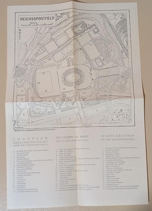
book in a few copies was a plan for the “Reichssportfeld” the primary venue for the
Olympics. This was present in the first two shabby copies. It was with hopeful, shaky
fingers that I turned to the map pouch and pulled out