This week’s musing features two sets of books featuring mountains of Canada. One set focused in the west and the other in the east. There are similarities between the two works. Both feature a book of text rich with photographs and accompanied by a volume of maps and drawings. And both were the first sets detailing the subject mountainous regions.
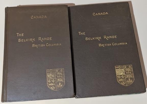
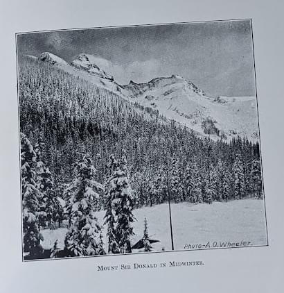
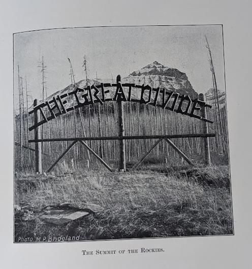
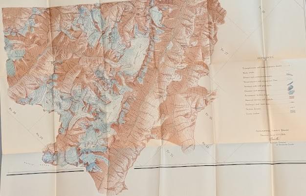
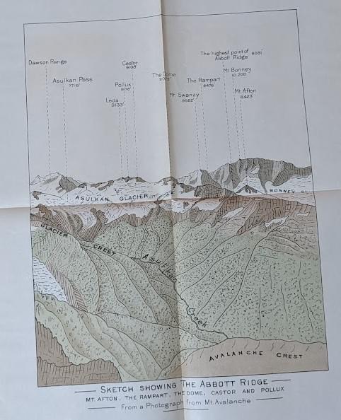
The Selkirk Range; by A. O. Wheeler, F.R.G.S.; Government Printing Bureau, Ottawa, 1905. 459 pages. Maps, diagrams, and plates will be found in a separate pocket – Volume II.
From the author to The Minister of the Interior introductory letter – Sir, I have the honour to submit the following account of a topographical survey of the portion of the Selkirk mountains adjacent to the line of the Canadian Pacific railway. It is accompanied by a brief review of travel and exploration, of previous surveys and of mountaineering in these regions. Two seasons have been spent upon the work. The ground has been covered between Beavermouth and Revelstoke, from the eastern to the western slopes of the range.
Owing to the great influx to our Canadian Alps, from all parts of the world, of those interested in mountains and mountain scenery, the subject has become one of great interest. Accurate maps and reliable information are frequently asked for, and on this account, if no other, the accompanying notes may be of use.
Arthur Oliver Wheeler (1860 – 1945) was born in Ireland and immigrated to Canada in 1876 at the age of 16. He became a land surveyor and surveyed large areas of western Canada,
including photo-topographical surveys of the Selkirk Mountains and the British Columbia- Alberta boundary along the continental divide through the Canadian Rockies. In 1902 took his son Oliver on a first ascent of a previously unnamed peak, which he named Mount Oliver after his son. Wheeler also made a first ascent of a major peak, which he named Mount Wheeler after himself.
In 1906, he and journalist Elizabeth Parker were the principal founders of the Alpine Club of Canada (ACC). He was its first president, from 1906 to 1910, and editor of the Canadian Alpine Journal from 1907 to 1930. He remained Honorary President of the ACC from 1926 until his death in 1945. The Arthur O. Wheeler hut of the ACC is named after him.
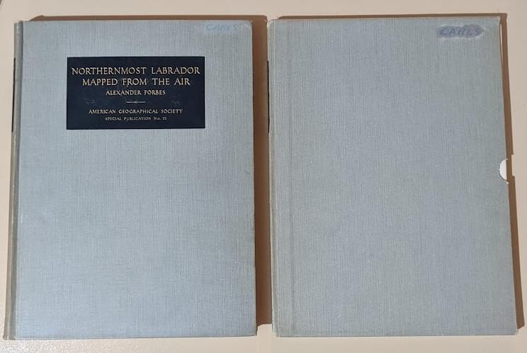
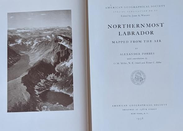
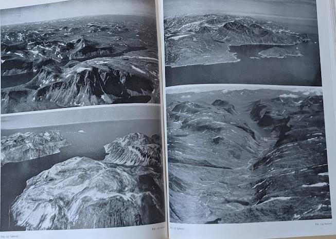
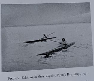
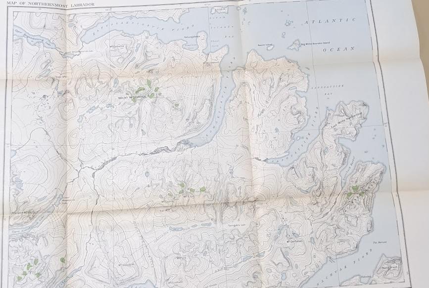
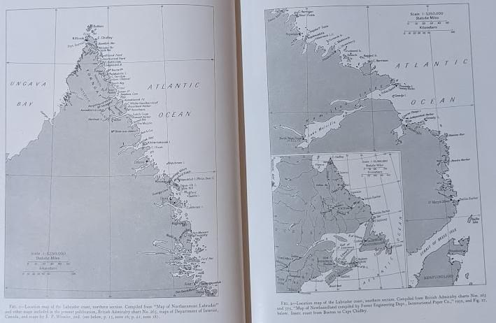
Northernmost Labrador: Mapped from the Air; by Alexander Forbes, with contributions by O. M. Miller, N. E. Odell and Ernst C. Abbe; American Geographical Society, New York, 1938. American Geographical Society Special Publication No. 22, edited by John K. Wright. This book is gratefully dedicated to Sir Wilfred T. Grenfell, who suggested the project of making a map in Labrador and whose enthusiasm enhanced to joy of its accomplishment.
From the Preface:
Originally as a summer vacation cruise to be enriched by a minor geographical objective, the project with which this book deals developed into a serious research in new methods of surveying from the air and absorbed a substantial part of the time of a number of workers for seven years.
In determining the place names to appear on the map reference has been made to the charts published by the British Admiralty and the Canadian Government. Additional information has been obtained from Sir Wilfred Grenfell’s sketch maps and published writings, from the Moravian Missionaries on the coast, from Eskimos consulted on the expedition of 1931, from Mr. Leonard Coates of the Hudson’s Bay Company who consulted the Eskimos of Killinek, from Captain J, C. Jackson of the Moravian Mission ship Harmony, from Captain Moses Bartlett of Brigus, Newfoundland, and from the Geographic Board of Canada.
And this could have been the end of the story, but then I discovered the following information from the wonderful world of Wikipedia!
Alexander Forbes (1882 – 1965) was an American electrophysiologist, neurophysiologist, and professor of physiology at Harvard Medical School. He had an enormous impact on the physiology and neuroscience of the twentieth century. Born into the Boston Brahmin upper class Forbes family, Alexander Forbes's father was William Hathaway Forbes and his mother was Edith Emerson Forbes, the daughter of Ralph Waldo Emerson. In the summer of 1931, Forbes, the owner and captain of the 97-foot schooner Ramah, took a crew of sixteen, including a geologist and botanist on a scientific expedition along the coast of Labrador north to Cape Chidley. The expedition had two airplanes for aerial reconnaissance and photography using the new technique developed by Osborn Maitland Miller for making charts from oblique photographs from airplanes in combination with precise ground markers. The expedition, known as the Forbes–Grenfell expedition, compiled valuable maps of the coast of Labrador. Sir Wilfred Grenfell was the ship's doctor. In 1935 Forbes, as a relief pilot and photographer, accompanied only by a pilot who was also a skilled mechanic, made an eleven-day aerial expedition to photograph the region near Cape Chidley.